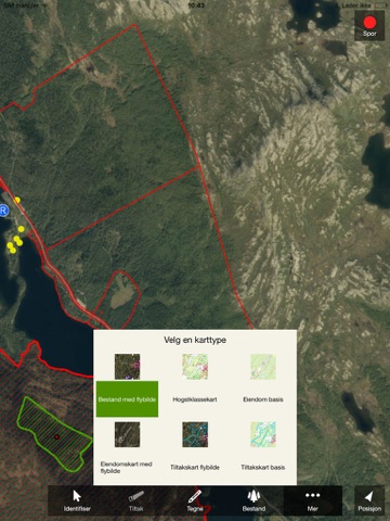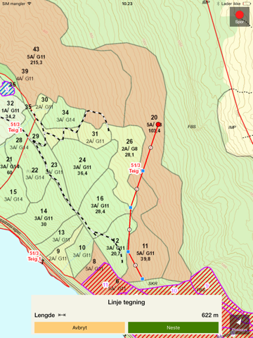
Allma app is a map application that helps to solve tasks for forest owners, officials and entrepreneurs. This version has a lot of new functions. You can log into your forest management plan, your region or your mission. You can activate the GPS to find out where you are in the terrain. Insert a point in the position you are in or make a tracklog. You can edit the stand comment, add new action and edit existing actions. It’s also possible to measure length and area. You ca draw point, line and polygon.
You can choose various map types for your needs. A keystroke in a stand brings up all constituent information.
All functionality is available both online and offline. This makes it possible to use the app in areas without mobile coverage.
Registrations you make in the solution are synchronized into the Allma-database. The next time you log into the web solution, the registrations from the app will be visible.
Continued use of GPS running in the background can dramatically decrease battery life.


